There are so many hikes in and around Queenstown, it’s a hiker’s paradise (quite literally – Paradise is just down the road). My parents live in the area and I’ve been exploring all of Queenstown’s hikes since I was old enough to walk.
While this isn’t an exhaustive list (there’s not enough room to fit all of them!), I’ve selected my favourite Queenstown day walks. I wasn’t able to go into much detail so feel free to comment with questions, or message me via email or Instagram, I’m always happy to chat tramping!
Queenstown’s Best Hikes:
Queenstown Day Hikes
Ben Lomond
Sugarloaf Pass
Rock Peak
Glacier Burn
Moonlight Track
Big Hill / Macetown
Brow Peak
Crown Peak
Queenstown Short Walks
Queenstown Day Hikes with views!
1. Ben Lomond
6-8hr return – 11km – 1400m elevation gain
Ben Lomond towers directly above Queenstown. You can access the track straight from town on the Tiki Trail (a great short walk in its own right), or you can cheat and take the Skyline Gondola up part of the way. The summit has INCREDIBLE views over Queenstown and Lake Whakitipu. I’ve dedicated a whole blog post on this hike as I think it’s one of Queenstown’s best hikes, check it out here for all the info / photos.
Bonus tip: Bowen Peak can be accessed by turning right at the saddle and is a much quieter trip (although not quite as spectacular in my opinion).
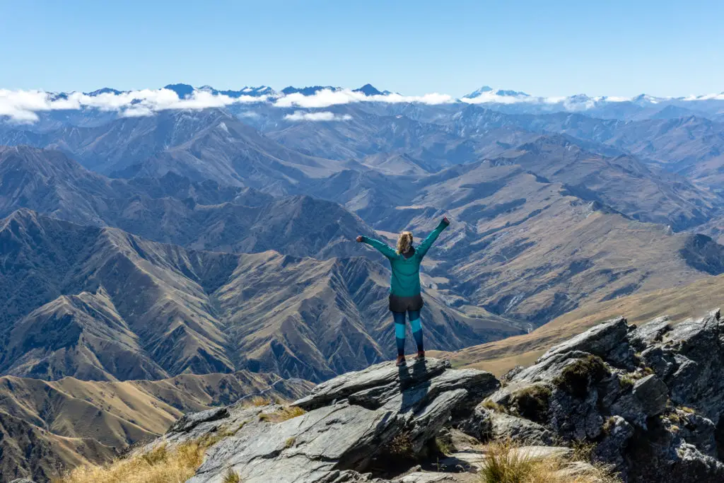
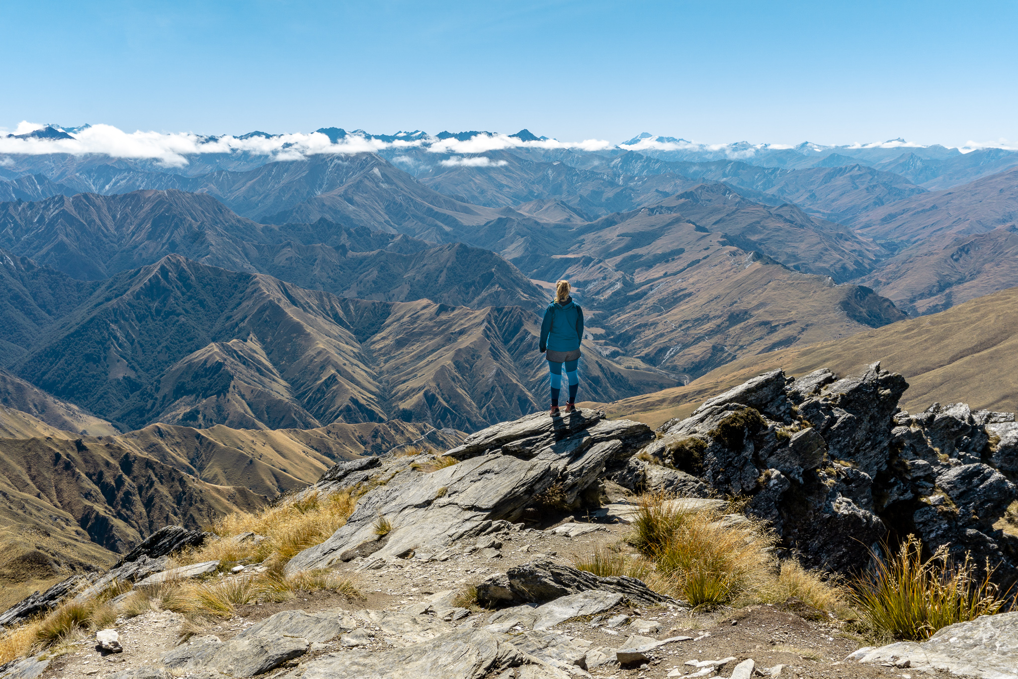
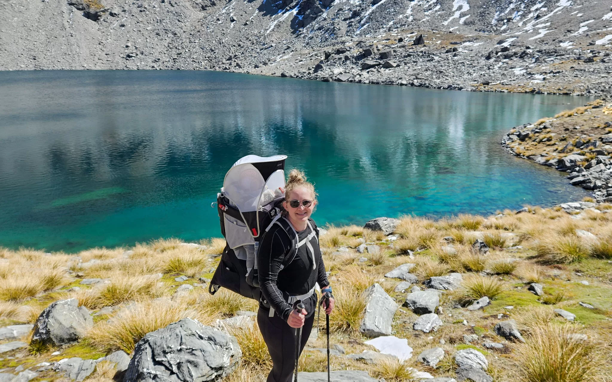
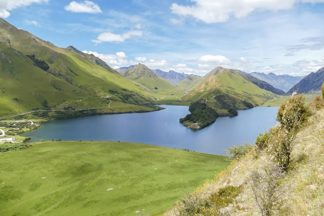
2. Sugarloaf Pass
5-7hrs return – 10km – 700m elevation gain
This is a seriously underrated walk off the famous Routeburn Track, but with much less foot traffic. Climb steeply on a rough track to reach beautiful tarns with views over the surrounding mountains, and down towards Glenorchy and Lake Whakatipu. You’ll likely have the views all to yourself, paradise!
I’ve written a more detailed blog post about this lesser known Queenstown hike, check it out here.
3. Rock Peak
3-4hrs return – 8km – 420m elevation gain
This is an easy-to-follow track between Queenstown and Wanaka that climbs steadily from the Crown Range Saddle carpark to the summit of Rock Peak and its antenna. On a clear day you’ll have views towards Tititea / Mt Aspiring. Dogs are allowed on lead.
Photo: Keith Milne
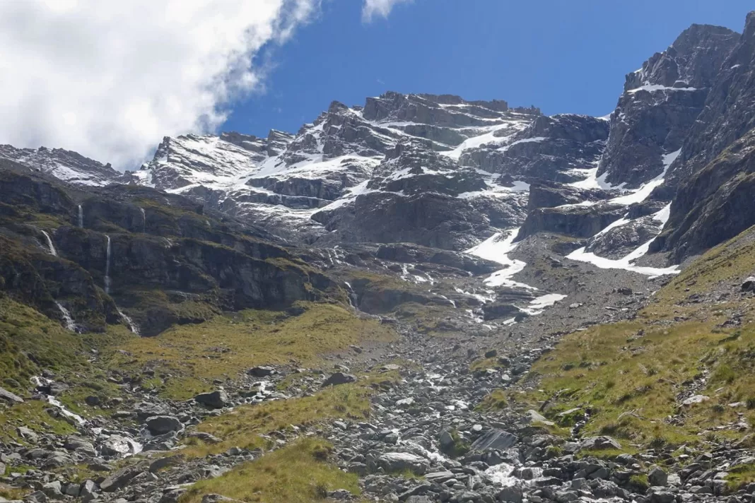
4. Glacier Burn
3-4hrs return – 7.3km – 630m elevation gain
This is another seriously underrated hike near Queenstown in my opinion. Accessed near Kinloch & Glenorchy, climb steeply through beautiful beech forest to reach a soaring cirque surrounded with hanging glaciers and waterfalls, and slight views back towards Glenorchy and the lake. It gives serious Earnslaw Burn vibes but is a LOT easier to access, only taking a few hours instead of a full day.
5. Moonlight Track
3-4hrs one-way – 9.7km – 540m elevation gain
This is one of the few Queenstown hikes on this list I haven’t done myself (due to the transport logistics), so I can’t offer much insight other than to say it looks beautiful and it’s on my to-do list! You can start from either Moke Lake or Ben Lomond saddle, and end up at Arthur’s Point (or vice versa).
6. Big Hill / Macetown
Various routes / times
Hiking up and over Big Hill near Arrowtown leads you into Macetown (a ghost town from the area’s gold mining boom). There are a few different routes to get to Macetown, including via the river / 4WD road. This map shows the routes in more detail, including timings.
7. Brow Peak
Various times / routes
From the saddle of Big Hill near Arrowtown take a poled route along the ridge to Brow Peak, with beautiful views over the Whakatipu basin. Or for an easier route, park at the base of Coronet Skifield, walk along the ridges to Brow Peak Summit, and then down to Arrowtown. A head for heights is needed, as well good weather and the right gear.

8. Crown Peak
Various routes / times
Crown Peak towers over Arrowtown and climbing it gives you impressive 360 degree views. You can either start directly from Arrowtown itself (over 1300m elevation gain), or you can leave from the Crown Range road either in the Cardona Valley from Coal Creek (about 1000 elevation gain), or the slightly easier Crown Range Saddle up Mt Scott and along the ridge. Check out this map for more detail on the routes.
Short Walks near Queenstown
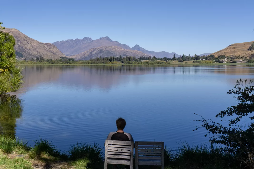
9. Lake Alta
2hr return – 2.4km – 200m elevation gain
This is one of my favourite Queenstown hikes and has great bang-for-your-buck in my opinion. A beautiful alpine lake set beneath towering peaks, and a relatively easy walk up (most of the elevation is gained driving up to ski-field carpark). What more could you ask for? You can read more about Lake Alta and all of its amazing side trips here, including the amazing Remarkables lookout track.
This is a summer-only walk, in winter most of the track is in an active ski-field, covered in snow.
10. Mt Dewar
2-3 hours return – 5.4km – 360m elevation gain
Turn onto Skippers Road and park in the carpark on the left. Then walk up the road to Mt Dewar (not down the Skippers Road), for beautiful views over the Queenstown basin. This isn’t as well-known as the other Queenstown walks on this list, but it’s worth doing!
If you want a longer and slightly more challenging walk, from the summit of Mt Dewar follow the old road to Pt 1071, then turn off onto a smaller trail on the right. This takes you to Big Bend below Castle Rock on the Skippers Road, which you can climb back up to reach the carpark. I’d recommend taking a map with you to ensure you don’t take a wrong turn – there are various tracks in this area.
11. Sawpit Gully
2-3 hours return – 8km – 350m elevation gain
A favourite walk of Arrowtown locals, this is a great short walk through old gold mining hills, leaving directly from town. Either take the Bush Creek Track to go clockwise (my preference), or walk up the river track towards Macetown and turn off at Sawpit Gully to walk counter-clockwise (seemingly everyone else’s preference).
12. Bob’s Cove
1-1.5 hours return – 3km – less than 100m elevation gain
This is one of the most well-known of Queenstown’s walks, so expect the small carpark off the Glenorchy Road to be bursting during summer. But despite its popularity it is a beautiful short hike and it’s definitely worthwhile continuing around the bay to climb up to the lookout.
13. Moke Lake Loop
2-3 hours return – 6km – minimal elevation gain
Moke Lake is one of my favourite spots near Queenstown. While it’s no longer as quiet as it used to be, it’s still a beautiful place to explore or spend the night at the DOC campsite. Walking around the lake is a nice short walk without too much climbing, but if you want even better views then climb up to the not-so-secret secret lookout. This is an unofficial, unmarked, unmaintained and steep track but you can find more details about it here.
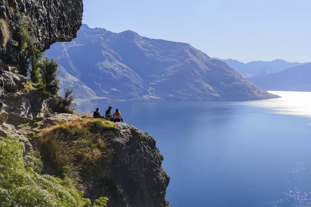
14. Wye Creek Lookout
1.5-2 hours return – 4km – 300m elevation gain
Another of my favourite Queenstown hikes, this walk is great value in term of views. Park at the marked carpark near Wye Creek on the Devil’s Staircase road, then climb steeply, first up a 4WD track and then a slippery trail. When you reach the dam over Wye Creek, turn right and walk over the stream and onto a wooden walkway on top of a pipeline (this is narrow and not for people with a strong fear of heights). Just before crossing the next stream look to your left slightly up the hill and you’ll find the helipad which is a beautiful lookout. Or continue on the track to reach the bluffs, if you’re lucky you’ll spot some rock climbers!
15. Mt Crichton Loop – partial closure
2-3 hours return – 7km – 320m elevation gain
Another local’s favourite that showcases Queenstown’s gold rush history. Walk up through beautiful beech forest to see Sam Summers historic hut, beautiful waterfalls, old sluicings and views back to the lake. The bridge at Māori Gully is washed out from a flood, so check the DOC website for the most recent updates.
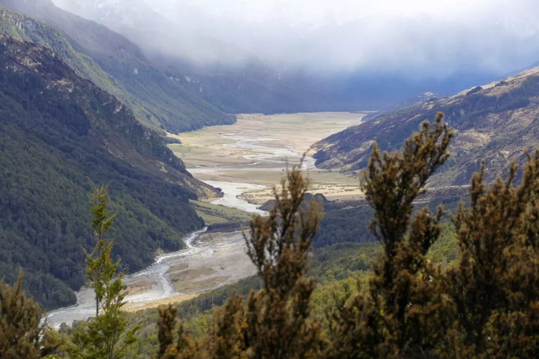
16. Invincible Mine
3 hours return – 5km – 460m elevation gain
This is the only other track on this list I’m yet to do (as an adult). It climbs steeply up the hillside until you reach the old Invincible Mine and beautiful views over the Rees Valley (pictured) and Mt Earnslaw / Pikirakatahi. Note that there are fords on the access road to this track, so take a high clearance vehicle and avoid during / after rain.
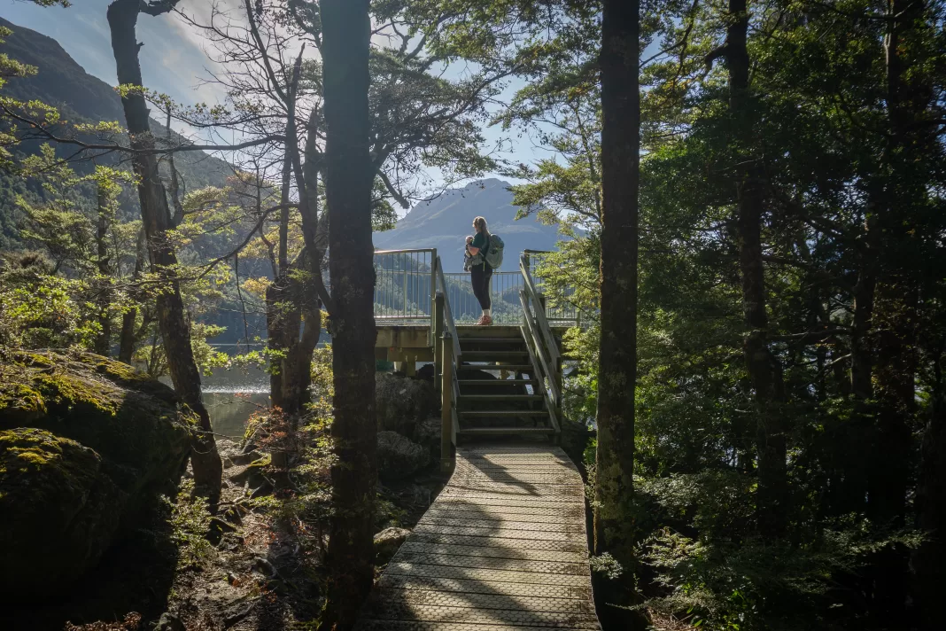
17. Lake Sylvan – currently closed
6.5km – 1-2hrs return – minimal elevation gain
This is a beautiful loop through native beech forest, following parts of an old scheelite mining tramline. The viewing platform at the lake offers views over to Mt Earnslaw / Pikirakatahi. Unfortunately it’s currently closed as the bridge over the Routeburn was washed away in a flood – visit the DOC website to check the most recent updates.
18. Queenstown Hill
2-3 hours return – 5km – 400m elevation gain
A steady climb from Queenstown (park at Belfast Terrace) leads up through pine forest until you reach the tree-line. From here you’re almost at the Basket of Dreams, a sculpture overlooking Lake Whakatipu. You can continue on for another short climb for even better views, or turn around here.
19. Tobin’s Track
1 hour return – 4km – 250m elevation gain
If Queenstown Hill & the Tiki Trail are the preferred walks of Queenstown locals, then Tobin’s Track is the Arrowtown equivalent. It climbs up from the Arrow River to the Crown Terrace for views towards Queenstown. Beautiful in autumn!
Optional extras: add on the Millennium Trail looping down and around the Arrow River, or climb the steep Mt Beetham across the road from the top of Tobin’s Track.
20. Lake Hayes Walkway
2-3 hours return – 8km – minimal elevation gain
Another Queenstown walk that is stunning year round, but best in the autumn months when the trees on the lakeshore comes alight with orange leaves. There are some short steep sections, but for the most part this is an easy walk following the lake shore.
It was hard to narrow down even just 20 of the top Queenstown hikes, how did you think I did? Did I miss any of your favourites?
As always, stay safe out there and follow the Land Safety Code. If you have any questions, please leave a comment or send me a message over on Instagram. Happy adventuring!
After a longer hike? Check out these about overnight & multi-day trips near Queenstown!
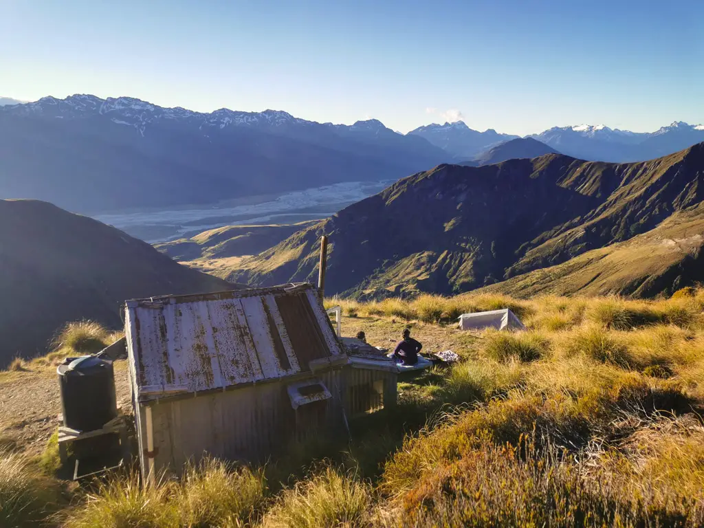
Heather Jock Hut
A beautiful old scheelite mining hut with views out towards Glenorchy and the surrounding mountains.
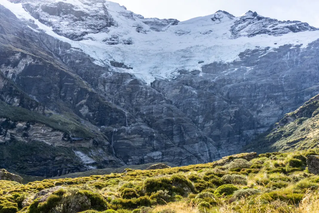
Earnslaw Burn
One of the most beautiful hikes in the Queenstown area in my opinion!
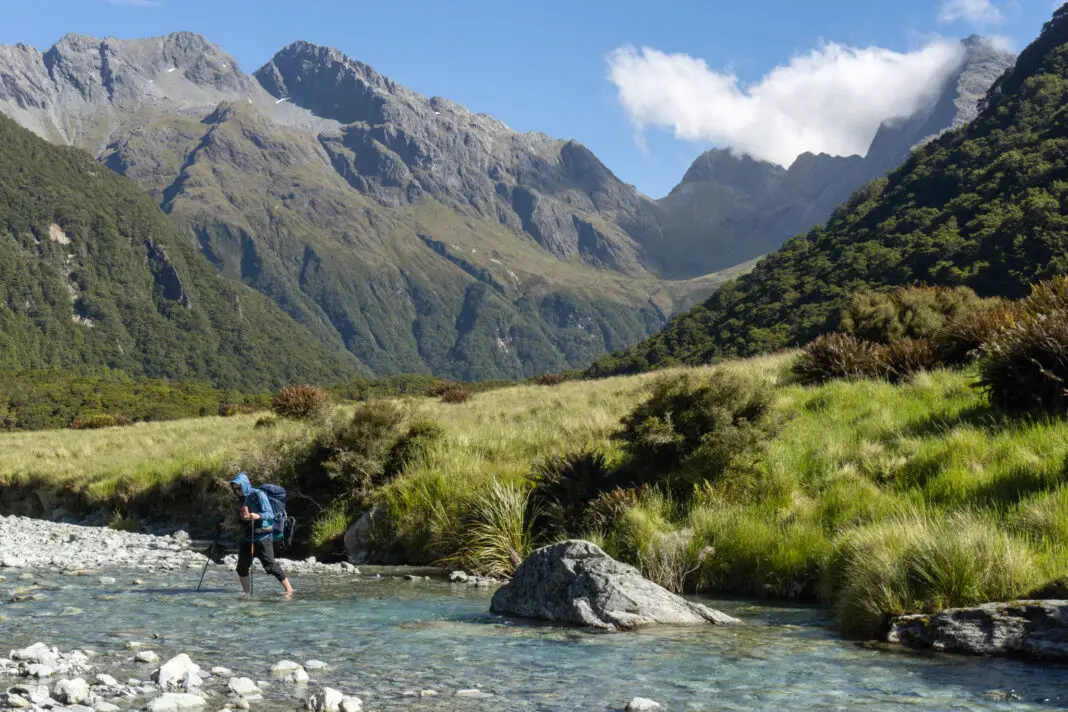
Lake Nerine Circuit
A challenging off-route circuit taking in three mountain passes and a gorgeous alpine lake.