Being heavily pregnant, I’m sadly becoming limited to shorter walks, rather than the longer tramps I’m used to. I think I’ve walked around all the Invercargill locals a zillion times by now. I wanted to get out and see something new! So when the Mountain Safety Council asked if I wanted to test out their new app – Plan My Walk, I was very keen. Perhaps I could easily find some different walks in my area?
Find a track near you
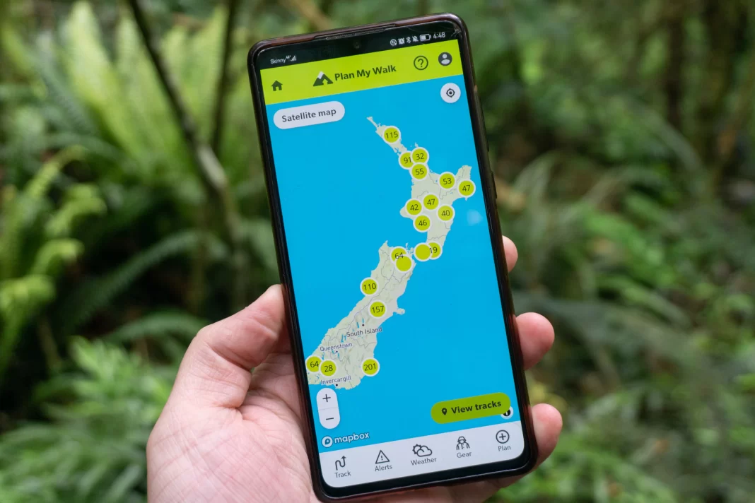
The Plan My Walk app showcases lots of amazing walks around Aotearoa to whet your appetite for tramping. And if you enable the location on your phone, the app will show local walks near your location. Being a visual person, I enjoyed looking at the map and checking out walks I hadn’t known existed. Normally I’m focussed on backcountry trips further afield, so it was refreshing to be exploring closer to home.
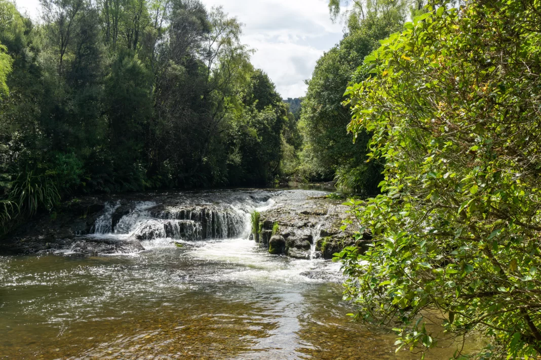
Clicking on each walk showed me more details like timing, distance, level, topomap, and a track description. There was even the most recent DOC alerts on the app, and a feature to check out the local weather forecast for each trip. Based on this I chose Forks Flat Track – a one hour / 3.6km flat loop next to a small stream with a waterfall. I was intrigued. I’d never heard of this place before, despite it being less than an hour’s drive from my house.
Plan My Walk Wishlist
While I was looking for a short, local walk, I also stumbled across quite a few tramps I’d like to do later (but would be physically impossible for me to do in my current Humpty Dumpty state). I’m not great at remembering things at the best of times, but luckily Plan My Walk has a ‘Wishlist’ feature, which you better believe I took full advantage of. Now I’ve curated a whole list of trips to draw inspiration from once I’m ready to get back into bigger tramping trips again, hopefully with a little one in tow!
Packing List
Decision made, it was time to pack. Even though it was only a short walk, I still packed a headlamp, extra food and water, warm layers, a first aid kit and my PLB. You never know when you’ll need them (for yourself or for others). I was also particularly conscious setting off on my own into an area that likely wouldn’t have cell service.
For people who aren’t as confident with their gear, or are new to tramping – Plan My Walk has a helpful ‘Packing List’ checklist as well to make sure you don’t forget any crucial piece of kit. Sadly chocolate was not listed as an essential item. I will be feeding that back to my contacts, never fear.
Emergency Contact
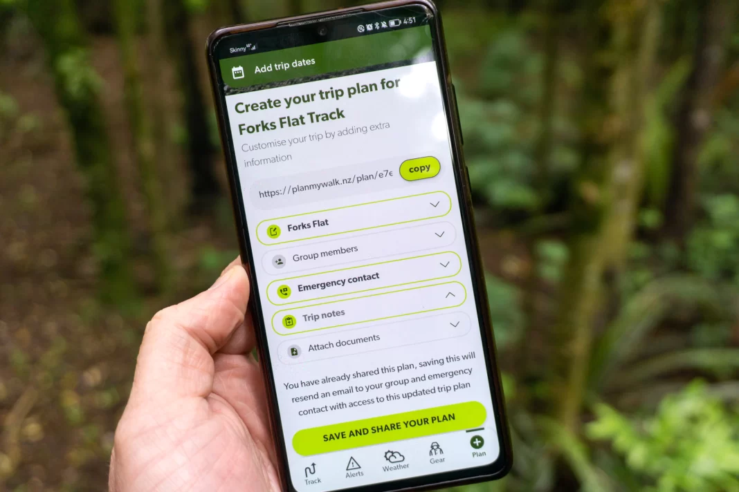
For anyone who knows me, you’ll know I’m a relatively risk-averse tramper. I always let someone know where I’m going, and often overpack “just in case”. Plan My Walk has simplified that all down for me – on the app I could write down all my plans (e.g. start time, planned route and end time) and then the app emailed this to my chosen emergency contact person. It meant I didn’t have to write it all down. And my husband had all the info he needed in case I didn’t contact him at our designated time. Such a good feature!
Google Maps location
Another small feature that I absolutely loved was the ability to load the trailhead location directly into Google Maps. From writing many tramping guides on my website, I know how hard it is to describe and sometimes find the start of particular tracks (like the start of Makarewa Falls). Forks Flat Track started deep in a forestry area, so I had to navigate a few gravel forestry roads with minimal signage, so this feature was actually so helpful!
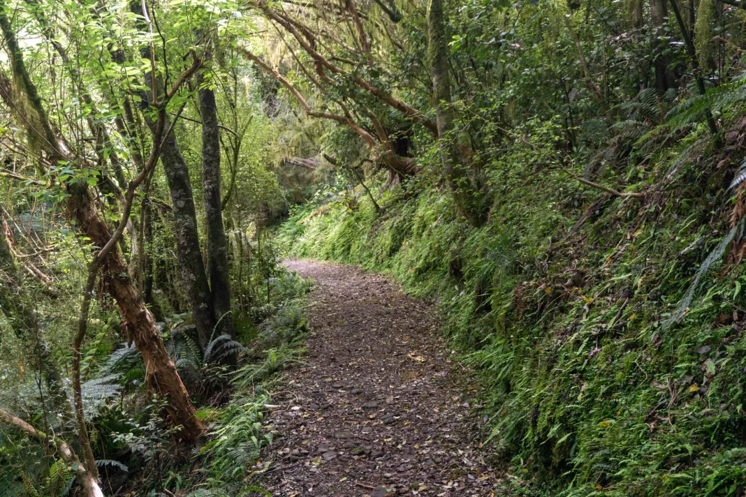
Forks Flat Track
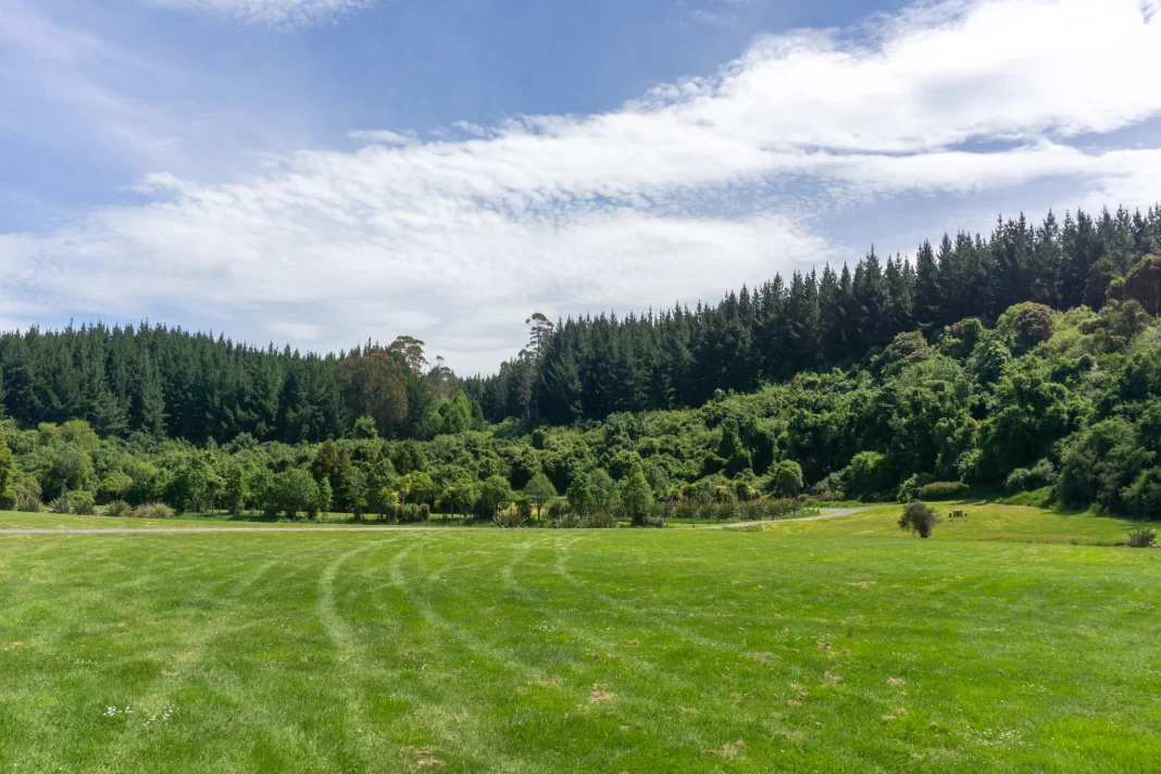
I made it to the start of Forks Flat Track with no mishaps, and enjoyed an hour’s stroll through native bush surrounded by birdsong. I loved exploring somewhere so close to home that I had no clue existed, and will definitely be going back to the area for picnics and walks in the future.
If you’re wanting to get out and about, but aren’t sure where to begin – Mountain Safety Council’s Plan My Walk app is a great place to start. It has plenty of track info (and inspo), as well as lots of helpful resources to make sure you’re out adventuring in a safe and sustainable way. You can download it here.